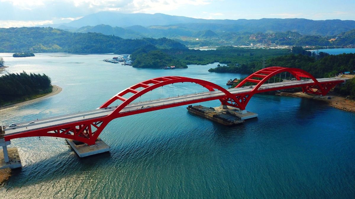
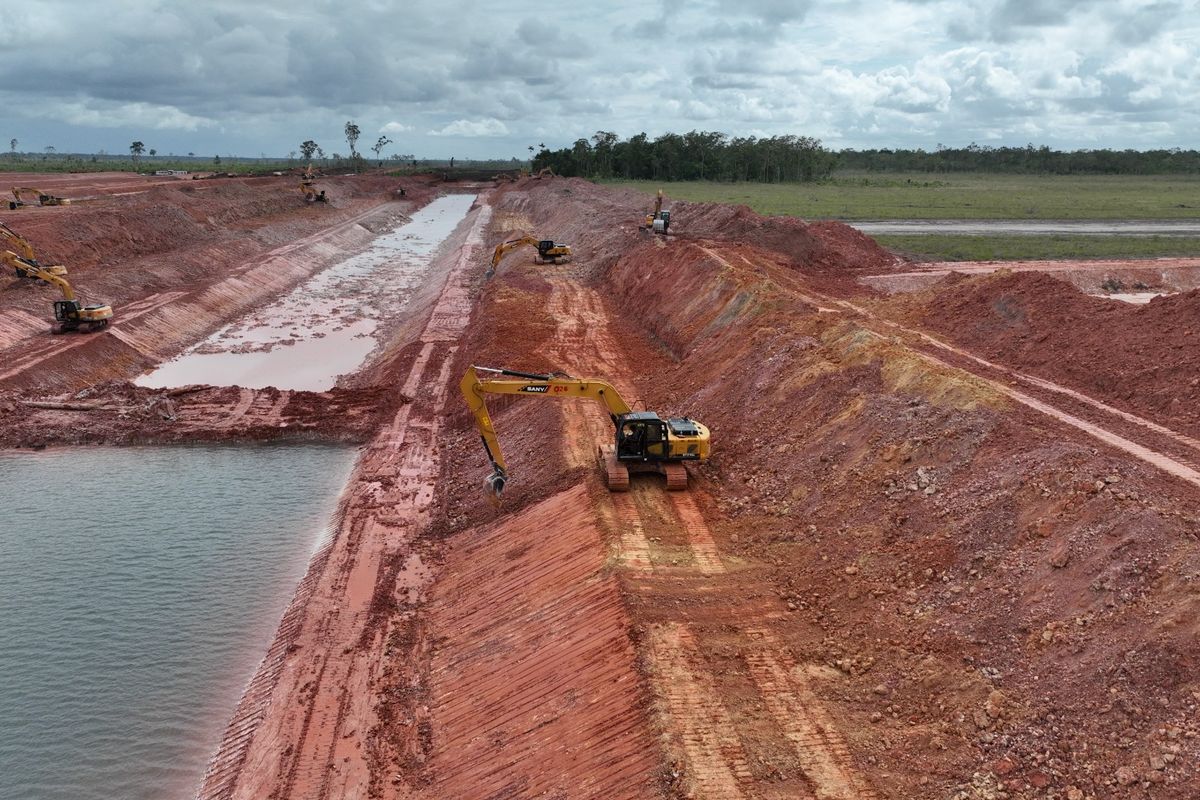
Indonesia’s border with Papua New Guinea runs for hundreds of kilometres through forest, swamp and mountains, and for decades few roads reached it. The government is building a road along that border, from Merauke in the south to Jayapura in the north. This article explains what the Papua border road connects, how much of it was finished according to the latest official figures we could find, and what daily life looks like at the busiest border crossing, Skouw.
ALSO READ: Papua Spatial Freedom
What is the Papua border road?
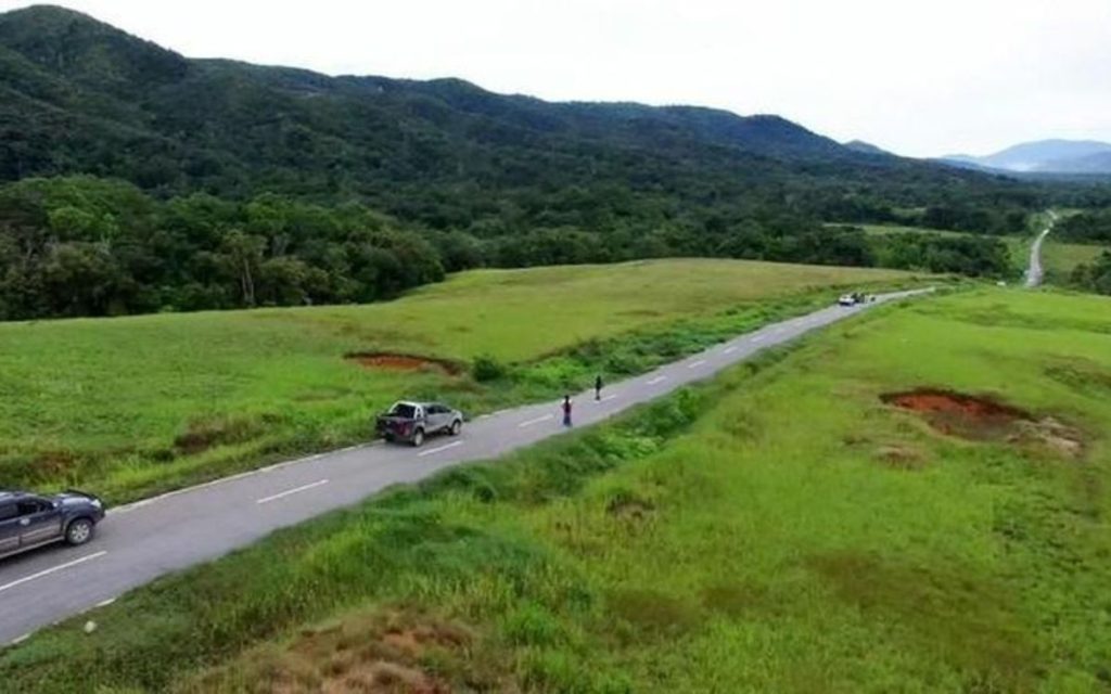
The Papua border road is a chain of road sections that runs close to the land border with Papua New Guinea (PNG). According to the Cabinet Secretariat, citing the Ministry of Public Works and Housing, the full route from Merauke to Jayapura is 1,098 kilometres long. It forms part of the wider Trans-Papua network.
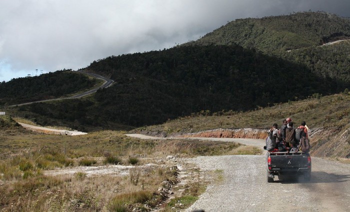
The road matters because many border districts, such as Boven Digoel and Pegunungan Bintang, have long depended on small planes or rivers. A road gives these districts a land link to the provincial capitals and to each other.
How much of the road was finished?
By the end of 2018, 919 of the 1,098 kilometres were connected, the Cabinet Secretariat reported in July 2019. Several southern sections were already paved.
| Section | Length | Status reported in 2019 |
|---|---|---|
| Sota – Erambu – Bupul (Merauke) | 111 km | Fully paved |
| Bupul – Muting (Merauke) | 38 km | Paved |
| Muting – Boven Digoel | 195 km | Paved |
| Oksibil – Towe Hitam – Ubrup – Jayapura (one package, Pegunungan Bintang) | 5.52 km | Built from 2018; Rp108.5 billion; maintenance until September 2019 |
| Whole Merauke – Jayapura border road | 1,098 km | 919 km connected by end of 2018 |
We could not find a more recent official total for the whole border road. Work on the Trans-Papua network has continued since then, so these figures show progress up to 2018, not today’s situation. For the wider Trans-Papua Road, see Trans-Papua Road, Youtefa Bridge and Palapa Ring.
What happens at the Skouw border crossing?
Skouw, east of Jayapura, is the main official land crossing between Indonesia and PNG. It has a State Border Post (Pos Lintas Batas Negara, PLBN) and a market where traders from both countries buy and sell goods.
In September 2026, the post hosted a meeting between Bank Indonesia and the Bank of Papua New Guinea, detikNews reported. The head of PLBN Skouw, Ni Luh Puspa Jayaningsih, said that some trade at Skouw Market still used the PNG kina. She said traders and visitors needed more information about using the rupiah as legal tender in Indonesia. Officials from customs, immigration and the provincial border agency also attended.
Why does the border road matter for food and services?
A road along the border does more than mark territory. It lets trucks carry rice, fuel and building materials to border towns at lower cost than planes. It also helps teachers, health workers and officials reach villages that were hard to visit. In addition, it gives farmers in districts such as Boven Digoel a way to sell their harvest in Merauke.
However, roads alone do not guarantee lower prices or better services. For why goods still cost more in the highlands, see Papua Price Disparity.
What should readers watch next?
- Completion of the last gaps. Mountain sections in Pegunungan Bintang are the hardest and most expensive to build.
- Maintenance. Rain and landslides damage unpaved and mountain sections every year.
- Cross-border trade. Whether markets such as Skouw grow, and whether traders shift to the rupiah.
- Up-to-date figures. A new official report on the whole border road would show how far it has come since 2018.
ALSO WATCH: What Does Food Sovereignty Mean for Papua’s Independence?