Drones could change how communities document forests, land boundaries, and natural resources. In Papua, participatory mapping has helped Indigenous communities record their customary territories and strengthen their claims for legal recognition. Combining aerial imagery with local knowledge could make this process more detailed, provided communities remain in control of the information and decisions.
From Traditional Sketches to Digital Maps
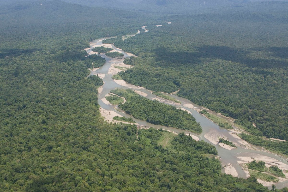
For Indigenous communities, customary forests are more than areas of trees. They contain ancestral boundaries, hunting grounds, water sources, sacred sites, and resources that support everyday life. Documenting these territories can help communities communicate their land claims to governments and other institutions.
Participatory mapping provides a way to record this knowledge. A chapter of WRI Indonesia’s 10-year outcome report, “Mapping of Customary Areas in Papua: Accelerating Recognition of Customary Forest”, describes collaboration with local organisations, Papua’s provincial forestry agency and Indigenous communities in Jayapura and Sarmi. According to WRI, the work produced spatial data for 92 Indigenous territories in Jayapura, covering about 300,000 hectares of customary forest, with similar analysis on the west coast of Sarmi Regency.
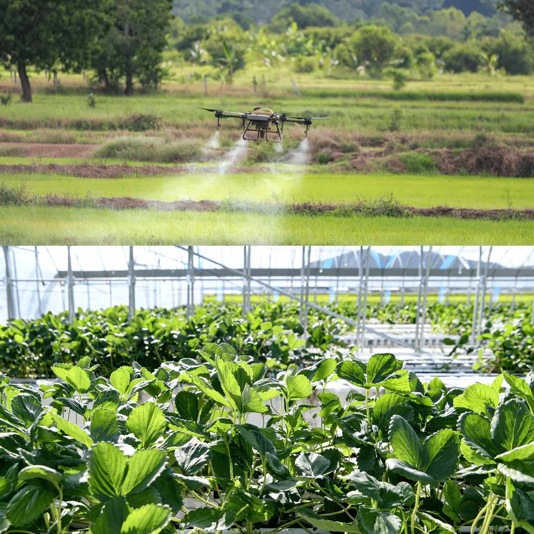
Drones can complement this work by capturing high-resolution aerial images that help identify landscape features, waterways, vegetation, and possible boundary markers. These images can be processed into maps that communities and mapping teams examine together. However, aerial images alone cannot establish customary ownership or determine boundaries without local knowledge and verification.
👉 ALSO READ: Digital Tools Transform Papuan Farmers into Modern Producers
Key Roles of Drone Technology in Participatory Mapping
Making Land Information More Detailed
Drone technology can capture aerial images that help surveyors document landscape features, waterways, vegetation, and land boundaries. A recent example comes from Kaimana, West Papua. In July 2026, the local land office conducted aerial mapping of approximately 900 hectares in Tanggaromi Village using a drone and geodetic GPS. The activity aimed to produce more accurate land information for land registration and boundary verification, as reported by KlikPapua.
This example demonstrates how drone imagery can support detailed land surveys. However, the Kaimana activity was a land administration project, not a customary forest mapping initiative. Its relevance lies in showing how aerial technology can produce spatial information that may complement community-led mapping when appropriate.
Keeping Indigenous Knowledge at the Centre
Technology is most useful when communities help decide what is mapped and how the information is interpreted. Elders and customary leaders can identify ancestral boundaries, culturally important locations, and areas used for traditional livelihoods that may not be visible in aerial photographs.
A 2022 study in Forest and Society, Avoiding Mistakes in Drone Usage in Participatory Mapping, cautions that high-resolution drone imagery does not automatically make mapping more participatory. Researchers found that images can cause misinterpretation when communities are not adequately involved in interpreting them. The study draws on mapping activities in 43 villages in Central and West Sulawesi, rather than Papua, but its methodological lessons are relevant to community mapping elsewhere.
Addressing Concerns: Accuracy, Consent, and Control
Drone mapping also raises questions about who owns the resulting data, who can access it, and how it may be used. In customary territories, maps can contain sensitive information about sacred places, natural resources, and boundaries between communities. Sharing these details without proper consent could create risks or contribute to disputes.
WRI’s account of its Papua work links mapping to community verification and formal recognition. In Jayapura Regency, the Ministry of Environment and Forestry has awarded six customary forest certificates, which WRI says its mapping helped support.
Conclusion: Technology Must Follow Community Knowledge
Drones can make customary forest mapping more detailed and help communities document landscapes that are difficult to survey on foot. But technology is only a supporting tool. Accurate maps also depend on local knowledge, community participation, field verification, and clear agreements about data ownership.
The lasting value of participatory mapping lies not in the number of images collected, but in whether Indigenous communities can use reliable spatial information to strengthen their customary land claims and protect the forests on which their livelihoods and cultural identities depend.